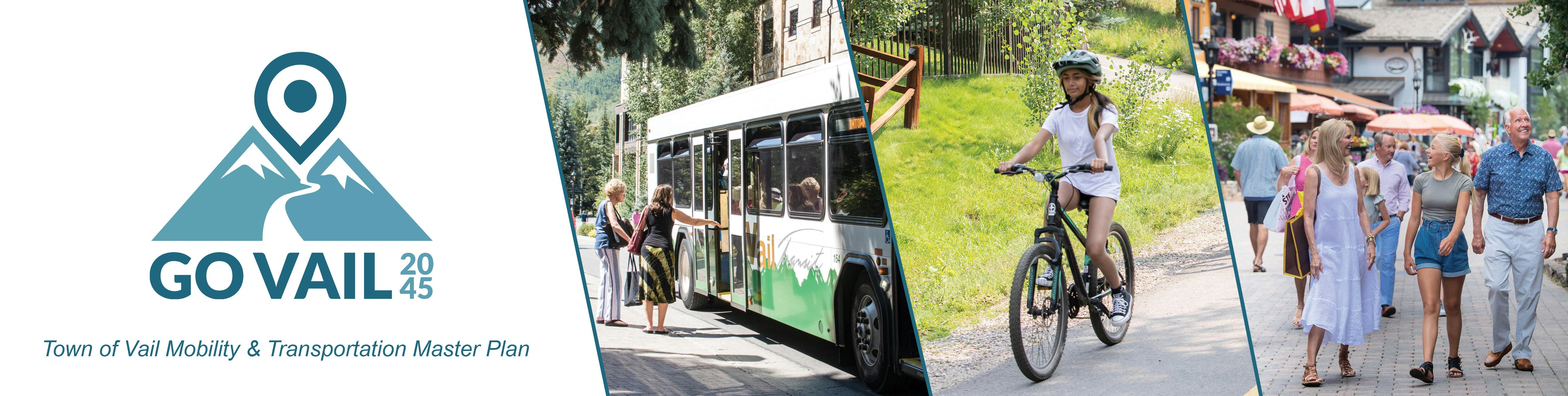
Go Vail 2045
Town of Vail Mobility and Transportation Master Plan
The Town of Vail Mobility and Transportation Master Plan has several elements including:
- Transit
- Multi-Modal: Pedestrian and Bicycle Opportunities
- Parking
- Traffic
- I-70
- Emerging Technologies
We want your feedback. Scroll down to view the transit and multi-modal maps and leave comments in the Forum Section. For Project background and updates read below.
Project Background
Go Vail 2045, the Vail Mobility & Transportation Master Plan is the Town’s initiative to integrate all aspects of mobility in Vail into a single plan that will chart a path for how people and goods will move into, out of, and around the community. The previous Transportation Master Plan was developed in 2009. Since then, Vail has continued to be a popular recreational destination while growing as a center for employment and services. Go Vail 2045 will serve as a comprehensive transportation plan that will cover community connectivity, including how to meet travel demand on a variety of transportation modes, how to efficiently manage deliveries of goods to businesses and residences throughout the community, how to incorporate emerging transportation technologies into Vail’s policy framework, how to manage parking demand, and how to strengthen regional travel opportunities. It is anticipated that the planning process will take place over two years and that community members will be engaged throughout.
Project Vision
Vail is recognized as having a comprehensive multimodal transportation system with well-integrated alternative transportation options which reduce the number of single-occupant vehicle trips and overall vehicle miles traveled to, from, and within Vail. Transit, walking, and biking are highly encouraged, comfortable, safe, affordable, reliable, and convenient, supported by state-of-the-art infrastructure, emerging mobilities and technologies, as well as education and outreach programs. Vail's transportation system is designed to support the sustainability of the natural environment and contribute to the Town's Climate Action goals as well as to provide equitable access to economic, recreational, and other opportunities. Those who choose to drive are welcomed with a well-maintained roadway system and clear direction for locating Vail's managed parking areas and alternative fuel vehicle stations. Loading of goods, services, and passengers is efficient and clearly designated through the town's dispersed loading and delivery system. Traveling between Vail and regional destinations within the intermountain area and the Front Range is reliable, convenient, safe and seamless by public transit or private vehicle. Convenient connections to the nearby airports make year-round travel to Vail easy from anywhere in the world.
Project Goals
- To update the 2009 Vail Transportation Master Plan and reflect the changing nature of mobility in Vail.
- To make driving, walking, bicycling, and riding transit feel safe and efficient for residents, employees, and visitors.
- To learn how the Town can best serve the transportation needs of community members as we grow.
- To identify how emerging transportation technologies can be leveraged to improve connectivity both within Vail and the wider region.
- To continue building Vail’s reputation as a community where traveling by foot or bicycle is an enjoyable experience
March 2023 Project Update
The Go Vail 2045 project kicked off in the Summer of 2022. The project team conducted public outreach throughout the summer and analysis on the existing conditions of walking, biking, and taking transit in Vail in the fall. The following sections describe the work that has been conducted Go Vail 2045 so far and the key takeaways from those efforts. The project team is continuing to perform analysis and draft preliminary recommendations. The project is estimated to be completed in the Summer of 2024.
Community Outreach
In the summer of 2022, the project team conducted an online survey (275 responses), online interactive map (42 comments), and spoke with community members one-on-one at six different community events. The input received from community members through all these channels helped inform the analysis the project team is conducting and will continue to form the development of recommendations. Below are high-level takeaways from the community input.
What is working well about transportation in Vail?
- Walking & biking is easy & comfortable
- Sidewalks and trails are well maintained
- Local buses are frequent, free, and easy to use
- Navigating Vail by car is easy
What is challenging about transportation in Vail?
- Conflicts between people walking and biking in dismount zones and on trails
- Finding places for parking & passenger loading is challenging
- More routes and greater frequency for regional buses are desired
- Traffic congestion makes it difficult to drive
Click the interactive map button below to view public comments from last fall on transportation and related issues.
Walking & Biking in Vail
The project team has been performing analyses to inform recommendations to make walking and biking in Vail comfortable, convenient, and accessible for people of all ages and abilities, for both recreation and transportation. An analysis of existing bicycle and pedestrian facilities has identified missing gaps in the off-street and on-street bicycle network, inadequate roadway crossings, and missing sidewalk segments. We have performed a crash analysis to identify key locations that are barriers to people walking and biking and unsafe for travelers. By mapping key destinations, crashes, and Level of Traffic Stress of existing bicycle and pedestrian facilities, the project team is identifying preliminary locations for: upgraded crossings at roundabouts and driveways; enhanced bicycle facilities; traffic calming treatments on local roadways; and trail design standards to accommodate a range of user types. In addition to assessing the need for additional infrastructure, the TMP performed an assessment of existing programs, policies, and supporting amenities that can enhance transportation options. Future programs and policies may include additional bikes on buses, pedestrian-scale lighting, bike share, bike parking, and education/awareness.
These analyses will inform recommendations for the following:
- Enhanced crossings for people walking and biking
- Improved on and off-street bicycle facilities in key locations
- Completion of gaps in the sidewalk network
- Programs to promote multimodal transportation options
- Policies to support safe bicycle and pedestrian travel
Taking Transit in Vail
Analysis of existing conditions of transit in Vail revealed the following key findings:
- From 2010 to 2019 Transit Ridership in Vail Remained Steady at 2.8 Million Annually - Population growth and wintertime hotel occupancy were also relatively flat over the same time frame.
- 2022 Transit Ridership is about 80% of Pre-Pandemic Ridership - As of the winter of 2022 ridership has rebounded to about 80% of pre-pandemic ridership despite the same service levels as pre-pandemic. This is on par with many other mountain transit agencies and better than most urban transit agencies.
- Ridership has Been Declining in the Winter and Growing in Summer – Between 2007 and 2019 ridership on Vail Transit declined by 8% in the winter, but grew by 40% in the summer. The decline in wintertime ridership may be attributed to fewer employees living in Vail (and more in-commuters), and an increase in the use of private hotel shuttle services by visitors. The increase in the summer is largely attributed to more visitor traffic (and employees) in the summer.
- 95% of Vail is within a Half Mile of a Bus Stop - However, some routes only operate at 60-minute frequencies or only operate in the winter. A smaller percentage of residents are within a quarter mile of a bus stop, which is a more accessible distance in the winter.
- Ridership on ECO Transit Grew 26% from 2014 to 2019 – This likely reflects an increasing trend of more workers in Vail commuting from other communities.
- Vail Transportation Center Nearing Capacity – The Vail Transportation Center is the Town’s key transportation hub in Vail Village where all nine Vail Transit routes and all six ECO transit routes terminate. It’s also served by Bustang, Pegasus, Greyhound, and private shuttles. Capacity constraints will limit the ability to expand local and regional transit services in the future. The Town of Vail is commissioning a design project to expand the Transportation Center into a mobility hub to increase transit capacity and facilitate connections with more modes of transportation.
- Vail is Part of a New Eagle County RTA – Voters recently approved formation of a new RTA in Eagle County, effective January 1, 2023, which covers most of the County (excluding Gypsum) and includes an additional half cent sales tax. The new RTA will allow for significant growth in regional transit service to Vail, particularly along the Highway 6 route, allow for fare-free service expansion to Avon (and potentially more in the future), and will give the Town of Vail more influence over regional transit planning and coordination with local transit service.
The project team is exploring options to improve transit service in the future to achieve the plan’s vision and goals, centered around the following general themes:
- Multimodal Options - Allow people to get around Vail and to Vail without a car.
- Equity - Improve connections/accessibility between local and regional transit services.
- Climate/Quality of Life - Support reduction in GHG and parking demand in Vail.
- Access - Increase access to high-frequency transit service in Vail.
- Innovation – Migrate to electric buses and explore autonomous vehicle technology.
- Safety – Provide safe and comfortable access to buses for people walking, biking, and waiting for the bus.
I-70 Noise Study
In August 2022 the Go Vail 2045 conducted a noise study in the town of Vail to understand the changes in noise levels since the previous noise studies. In comparison with measured noise levels from September 2008, 2022 measured noise levels increased by 2 to 4 dBA at 5 of the 6 locations. These noise level increases roughly correspond to the increase in traffic volumes along I-70 since 2008, from approximately 18,000 to 21,000 ADT to between 27,000 to 39,000 ADT. Noise levels measured at Location M2 (Gore Creek Drive/Matterhorn Circle) increased by 8 dBA over measured September 2008 levels. The predominant source of increased noise levels is increased traffic along I-70. In addition, construction activities located across I-70 on the northern side of N. Frontage Road W. were perceptible above the noise of traffic at this location and could have skewed measured noise levels above those otherwise attributable to vehicular traffic alone. The bulk of the noise increases are likely due to increased traffic along I-70, however, Site M2 also had some localized construction noise contributing to measured noise levels in August 2022.
Existing Traffic Modeling & Traffic Crash Analysis
The project team is currently conducting a townwide traffic and crash history analysis to understand current intersection and roadway levels of service and roadway safety conditions. The project team is also conducting a traffic analysis for projected future conditions by implementing statewide growth projections and evaluating trends and projected future developments in coordination with town staff. Proposed improvement recommendations from this analysis will consider safety issues from traffic patterns and accident history and could include, if necessary, updates to the existing Access Management Plan.
Topics for Future Analysis
Parking
Identifying the parking and existing and future parking needs is a critical next step, as this will serve as the baseline for evaluating parking alternatives around town. The project team is currently collecting parking data. The project team will analyze this data to understand the current condition of parking needs and will utilize Town growth projections and ski area visitation growth projections to determine the future parking needs. This parking analysis and recommendations will include considering options for the future of Frontage Road parking.
I-70 Impacts
Previous to Go Vail 2045, there have been many efforts to thoroughly evaluate options for mitigating the impacts of I-70 on quality of life in Vail. To build on these previous efforts, the project team will review the I-70 PEIS and provide the town recommendations for adaptation for potential infrastructure modifications like the potential future rail along the I-70 corridor. Project recommendations will be sensitive to maintaining the unique character of Vail and the entire valley.
New Transportation Technologies
The Go Vail 2045 project team will begin by identifying key challenges and opportunities related to future transportation and technology trends (such as Uber/Lyft, autonomous vehicles, etc.) to address in this study. The team will develop action items for the town to study, address, and monitor future transportation and technology trends, including an evaluation of current Smart Cities Technologies like utilizing vehicle-to-vehicle technology on all town fleet vehicles to ensure uniform communication abilities. A significant portion of this task will be dedicated to helping Vail identify the latest technologies in collecting and tracking transportation-related data and providing guidance on how best to utilize the counts from these technologies.
Traffic Calming
Traffic calming involves changes in street alignment, installation of barriers, or other measures to reduce traffic speeds and/or cut through volumes with the interest of street safety, livability, and other public purposes. There are several different tools available to assist with traffic calming that help address neighborhood traffic-related concerns. As part of Go Vail 2045, the project team will evaluate residential speed limit postings and make recommendations for consistent speed limits throughout the town and update the Model Traffic Code. The team will also evaluate speed data throughout the town and provide recommendations for traffic calming measures based on desired operating speeds. The team will evaluate traffic volumes and existing traffic circulation at several locations throughout the Town, specifically along Vail Valley Drive, Vail Village, East Meadow Drive, the area surrounding Dobson Ice Arena, Lionshead Village, and East Lionshead Circle to determine if volume control measures are recommended to be implemented.