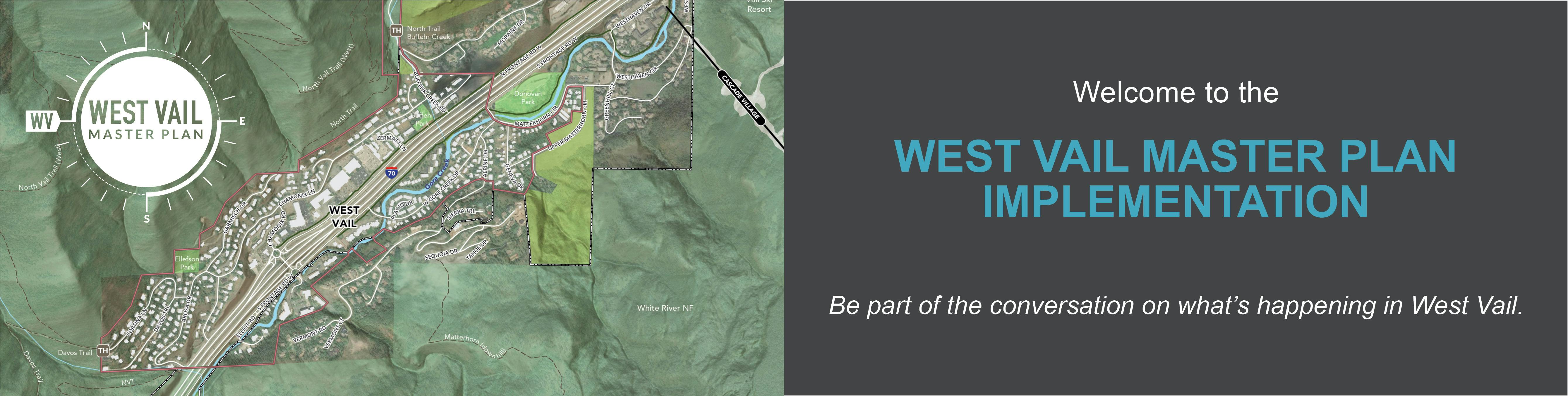
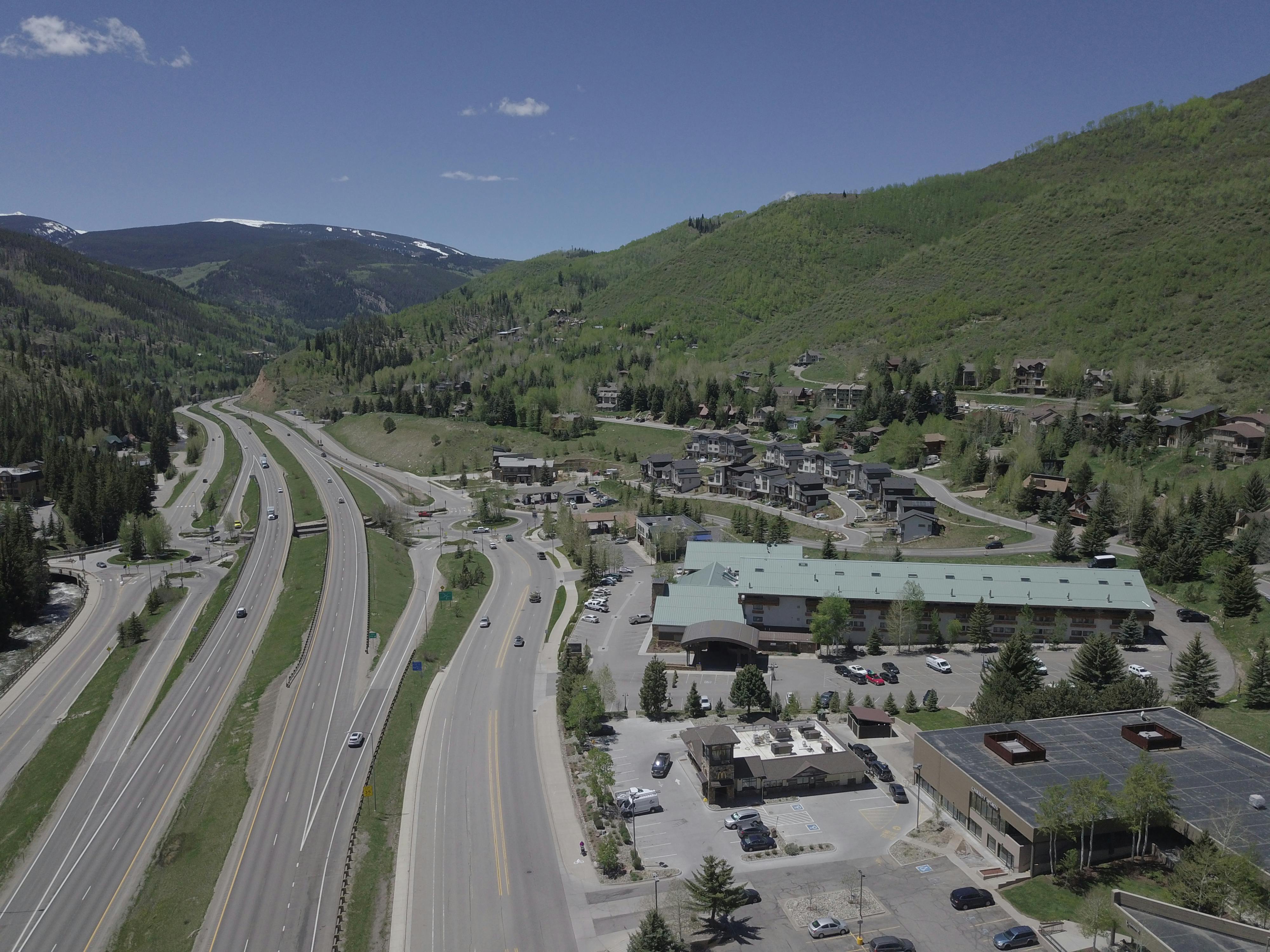
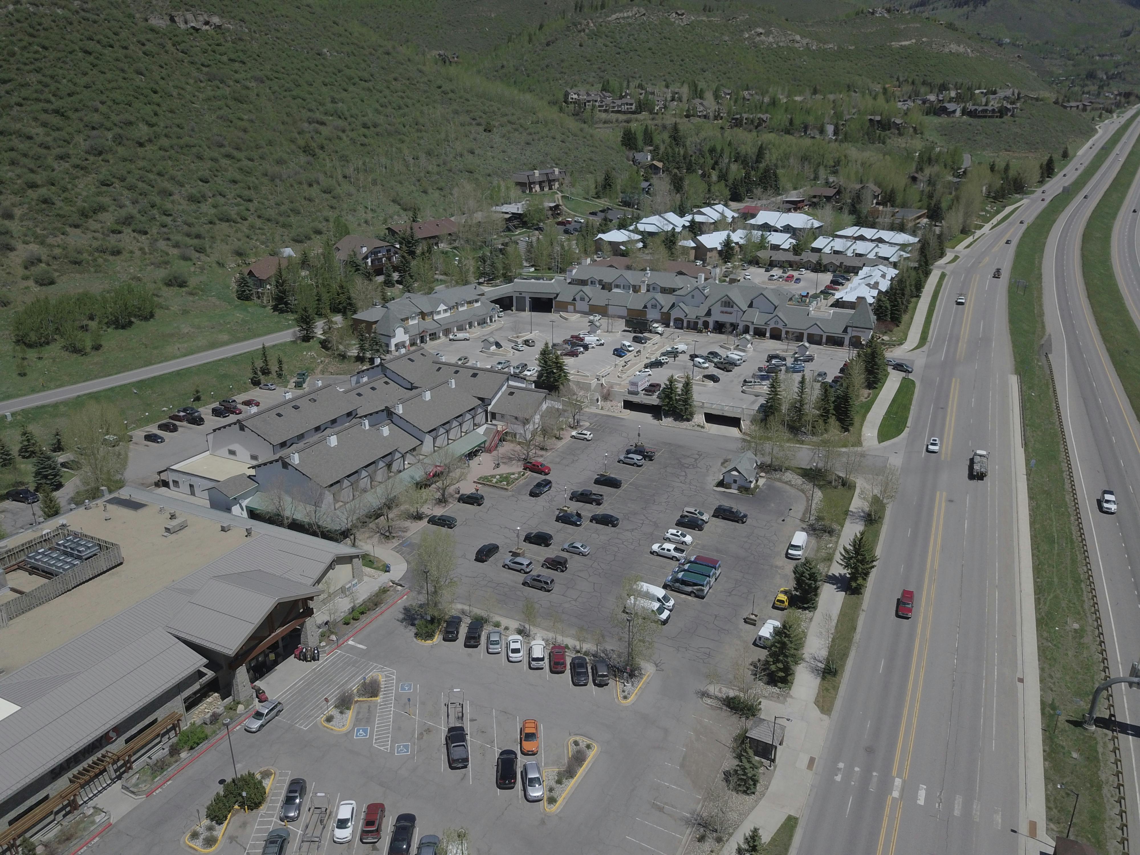
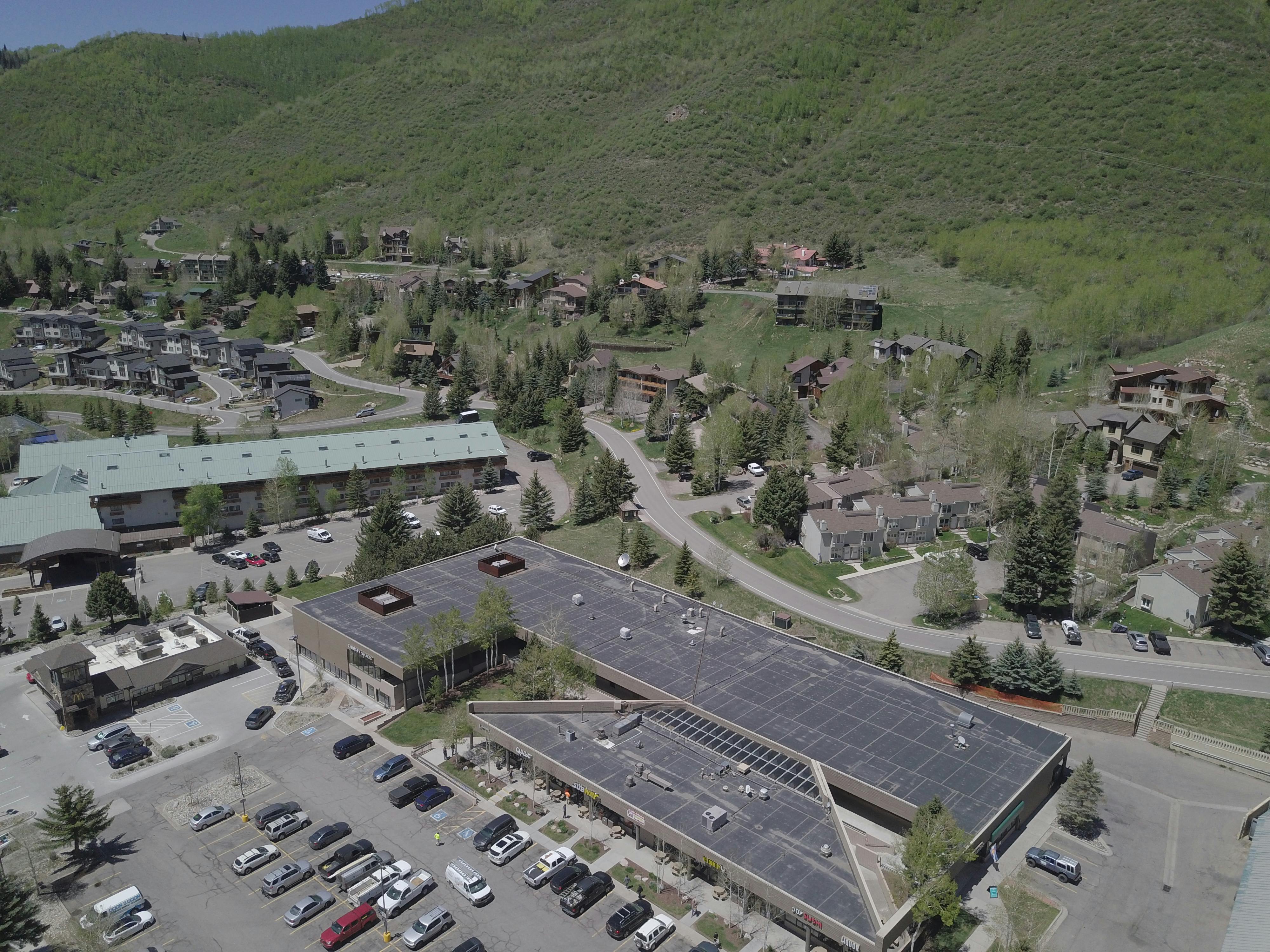
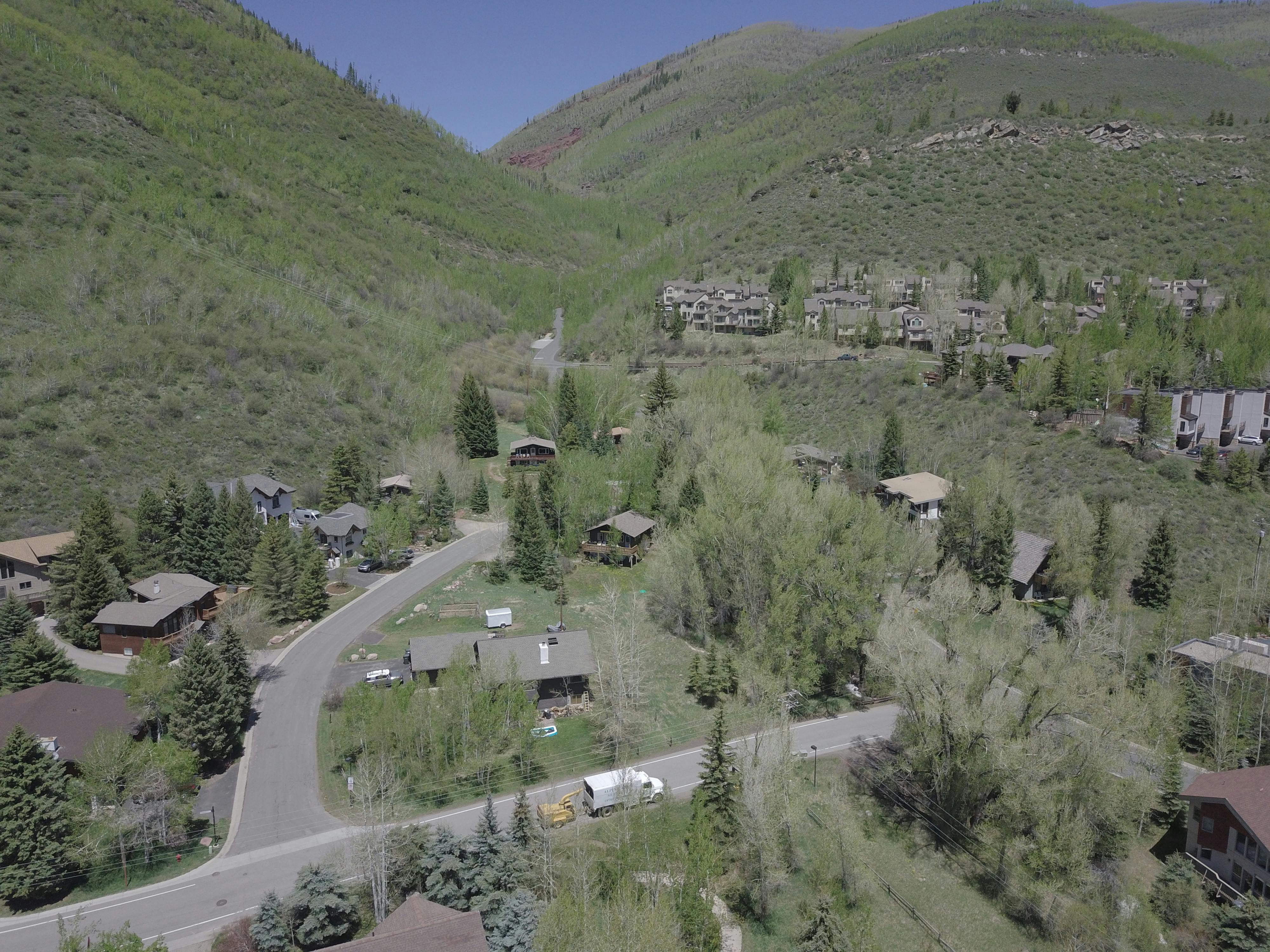
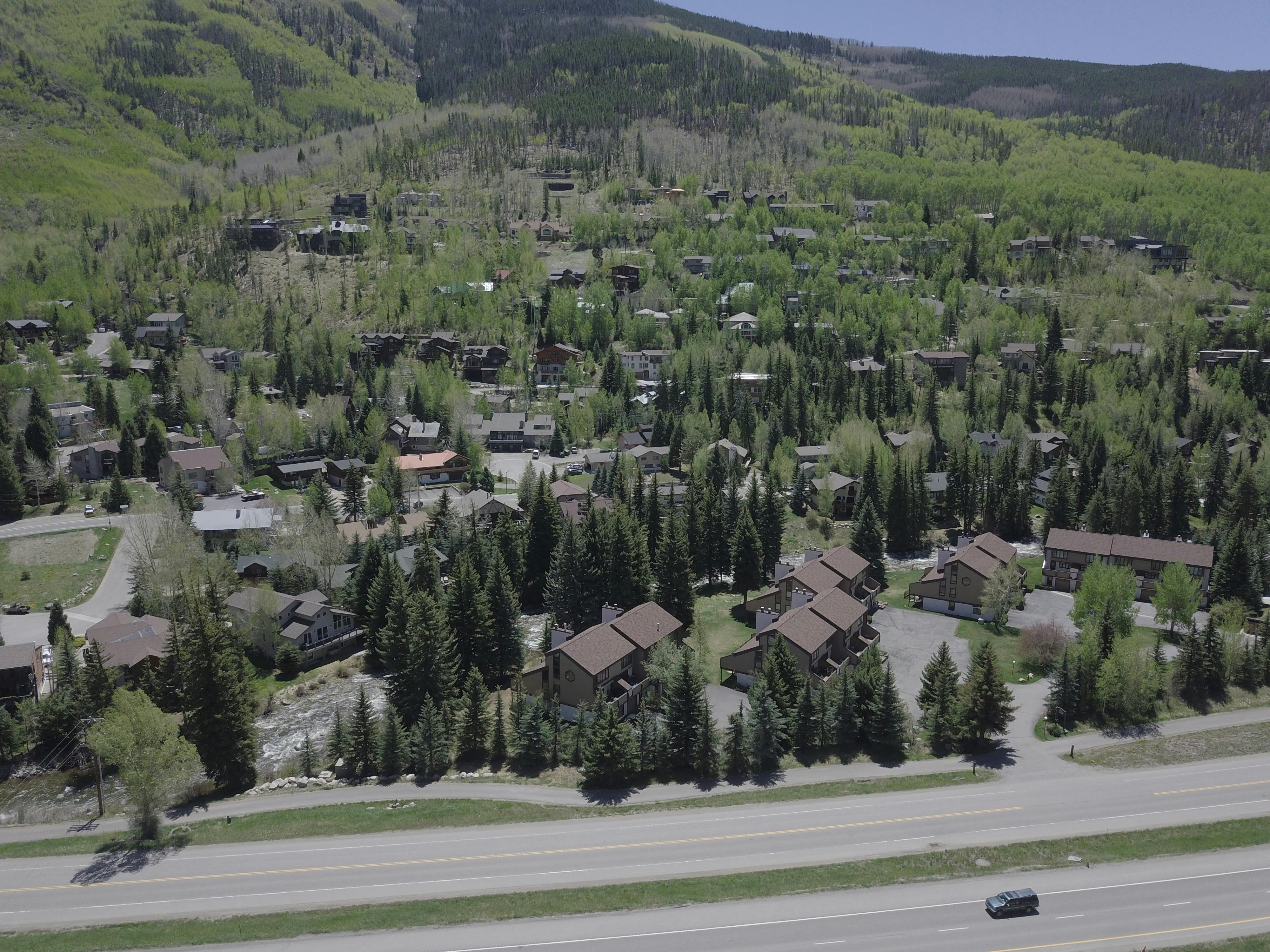
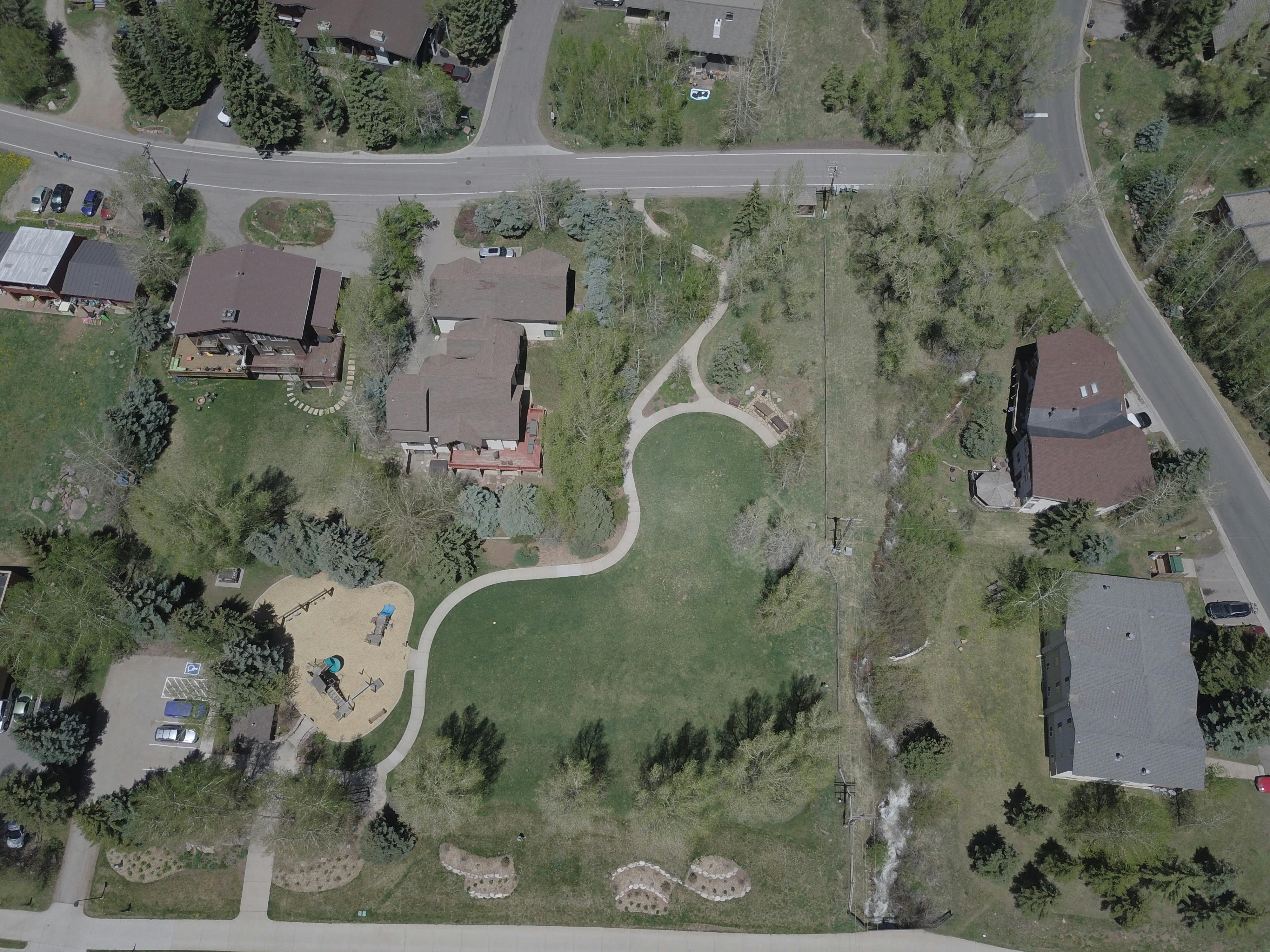
West Vail is an integral part of the town’s economic and social fabric. The West Vail area, as delineated for this project, includes commercial areas, residential neighborhoods, parks, trailheads, and the I-70 interchange.
The project area, as shown in the map below, is approximately 262 acres and is bordered by West Gore Creek Drive to the south, Cortina Lane, and Garmisch Drive to the north, Buffehr Creek Road to the east, and Arosa Drive to the west. This project area was determined by Town staff and was used as the subject area during the master plan process. The plan considers connections from West Vail to local destinations outside of the project area and West Vail’s role within the Town.